Eagle-Eye View: Innovative applications for river protection
By: Gan River Waterkeeper
By Dan Liu, Gan River Waterkeeper
Gan River Waterkeeper is in constant pursuit of innovation.
Traveling 550 miles, the Gan River is the longest river in Jiangxi, China, and the second-longest branch of Asia’s longest river, the Yangtze. The Gan River watershed accounts for 50 percent of the province’s land mass and is the source of drinking water for the people of Nanchang City, whose population is more than 5 million.
But the river is threatened by industrial and nonpoint source pollution. In fact, nearly half of waterways in China are unfit for human contact. That’s why, in 2016, China’s Ministry of Ecology and Environment launched the “Hei Chou He Initiative,” or the Black and Smelly River Initiative. This program asks the public to report severely polluted waterways, so that they can be recorded and put on a list to be cleaned up.
Throughout its years of watershed protection, Gan River Waterkeeper has been in search of creative new applications for environmental monitoring technology to allow the public to better understand the condition of their local rivers and help the government supervise waterways more effectively.
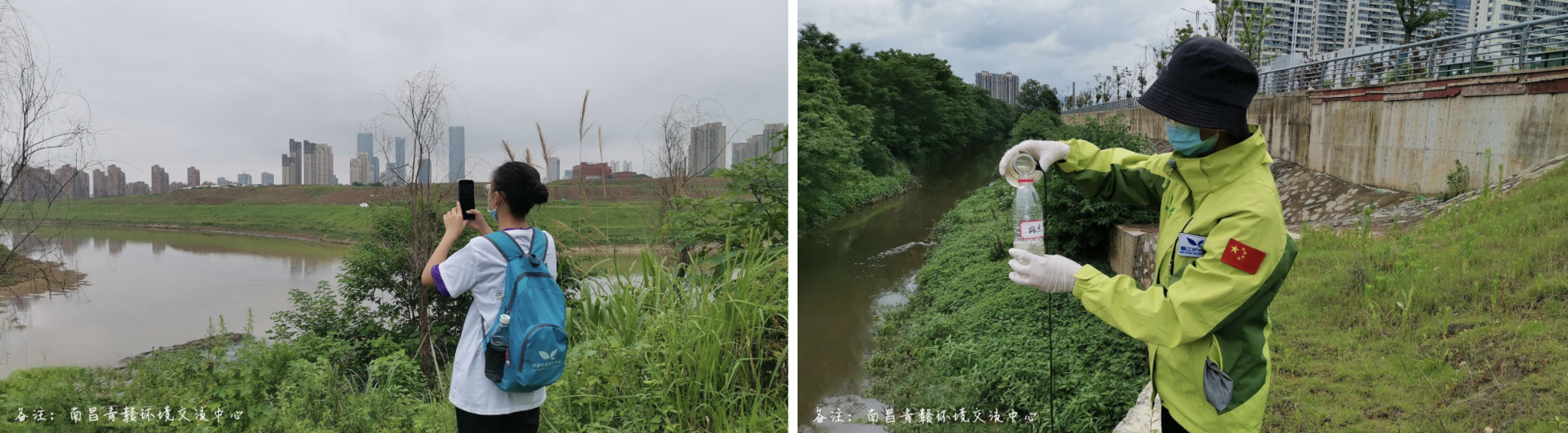
Gan River Waterkeeper has a team of volunteers who conduct river patrols. Traditional patrols are influenced by geography and obstacles on land. It is quite common for ground-based patrols to encounter areas with no path or road, and areas where it is impossible to access or closely observe the river.
From the ground, it is impossible to gain a complete view of the conditions of the river and its surrounding area. The solution? Combine land and air water monitoring methods.
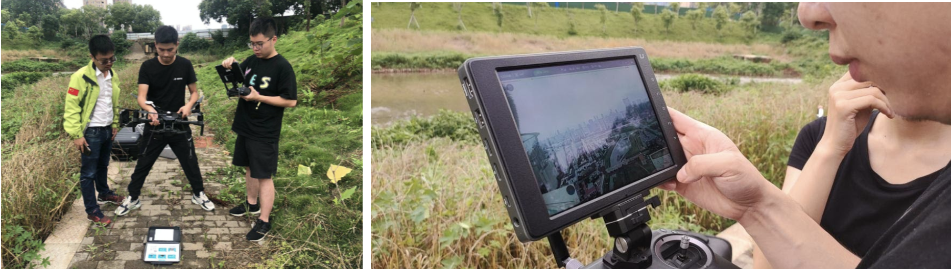
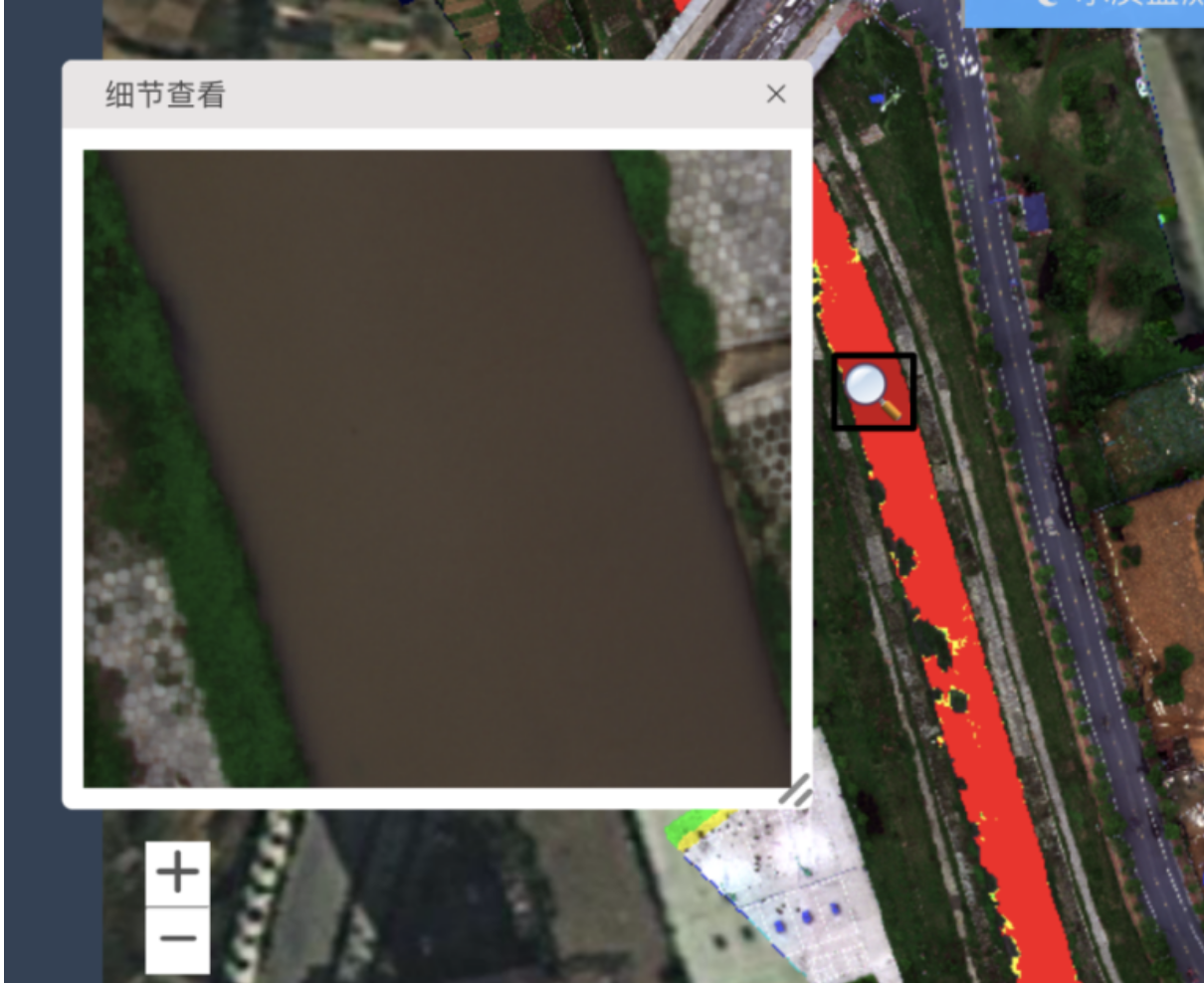
Drones and hyperspectral remote sensing, which provides images of the river using the electromagnetic spectrum, effectively resolve this problem. Gan River Waterkeeper has been working with Jiangxi Yimou Technology Co. to use “eagle eye” remote sensing drone technology to conduct environmental patrols alongside rapid onsite water testing.
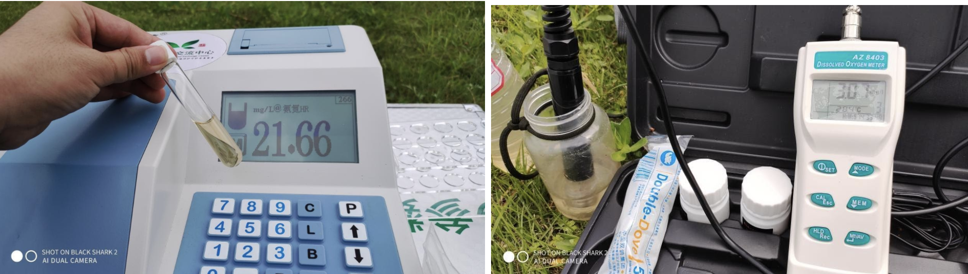
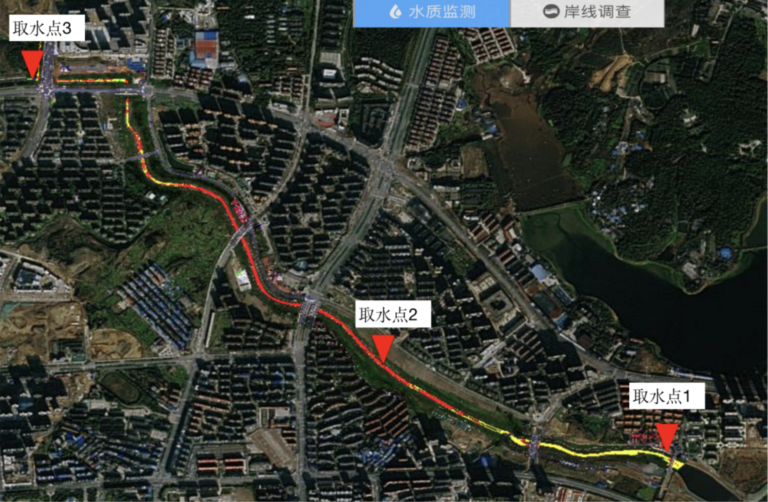
Specialized drone-mounted cameras can obtain multi-spectral data and texture information of the underlying water body to establish a remote sensing water quality database. The data is visualized via GIS and onsite testing results of water quality parameters—such as ammonia-nitrogen, redox potential, turbidity, and oxygen content—help to optimize the remote sensing algorithms, improve the accuracy and integrity of the data, and strengthen the ability of the algorithm to rapidly recognize pollution.
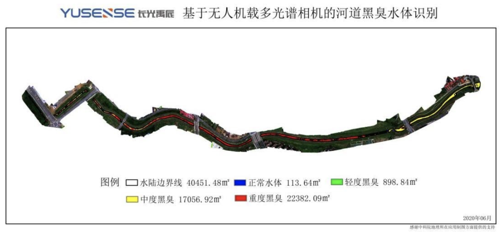
This technology offers a new method by which environmental organizations can assess the effectiveness of remediation efforts for the Black and Smelly River Initiative. As remote sensing technology continues to advance, water quality monitoring has transformed from being based on qualitative descriptions to be based on quantitative analysis. At the same time, more water quality parameters are able to be assessed and the precision of data is continuously increasing.
Remote sensing will without a doubt play a highly important role in the future of water resource protection.