Clean Water Act Rollbacks Threaten Upper Potomac Watershed
By: Ellen Simon
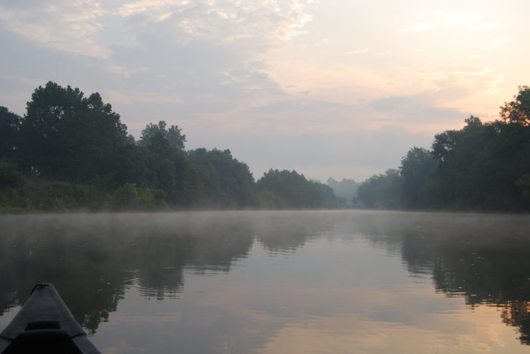
Brent Walls, Upper Potomac Riverkeeper, bought a new Hyundai Tucson in 2012, which he mostly uses for work. Since then, he’s put almost 300,000 miles on it.
That’s how big the watershed is.
The Upper Potomac watershed spans more than 6,000 square miles and covers four states: West Virginia, Virginia, Maryland, and Pennsylvania.
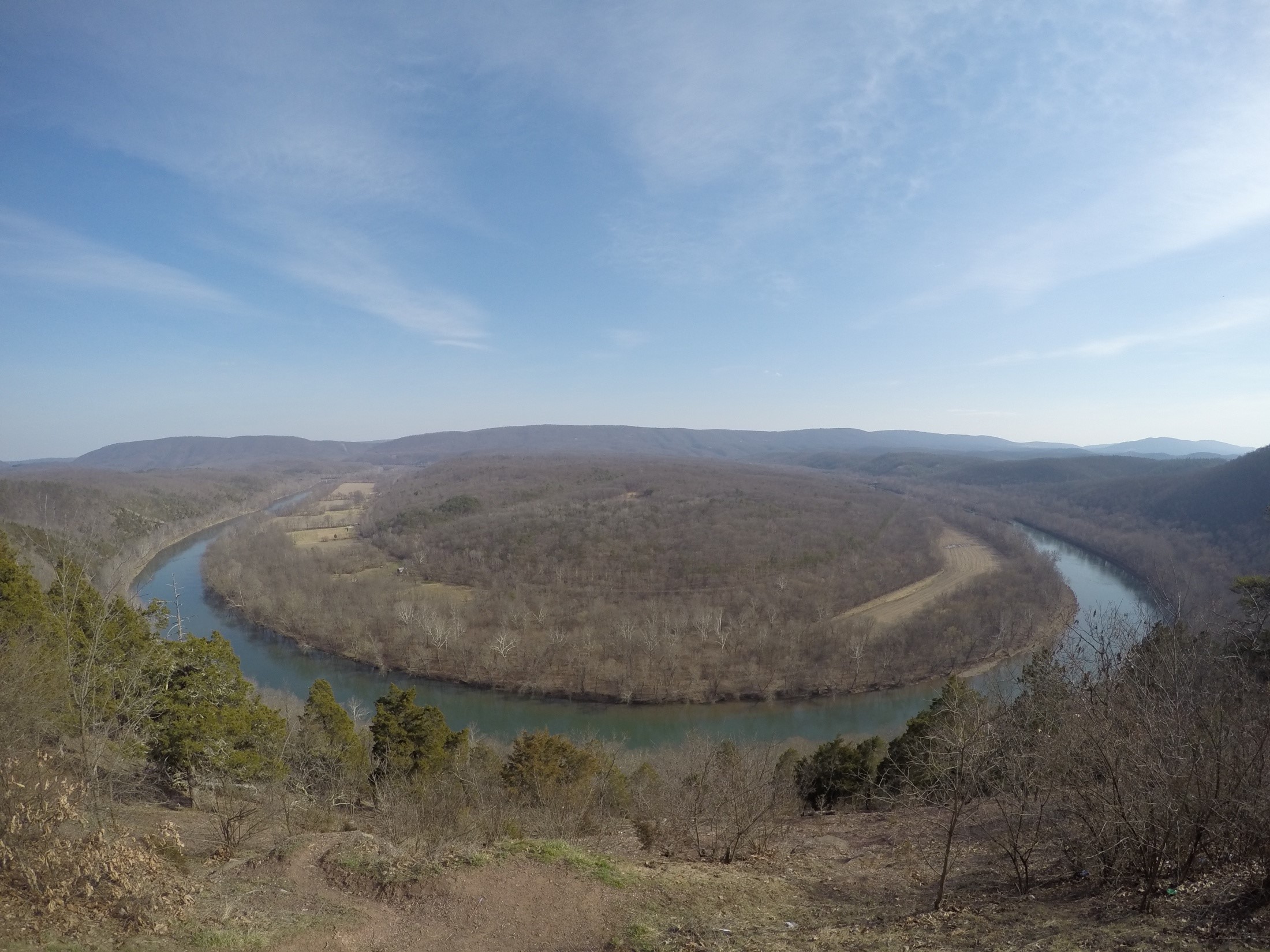
“The states are so drastically different, you have to kind of be in a swivel chair to track all the different standards,” Walls says. When he’s on the road, he constantly finds himself ticking through the same series of questions: Where am I? Can I do anything about what I’ve found? If so, what’s the procedure here? Whom should I contact?
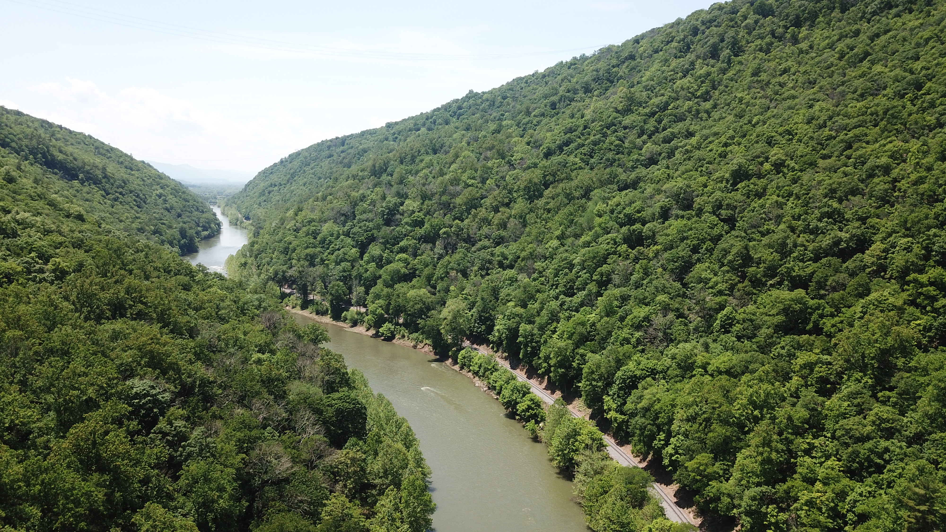
One example: Virginia has an Agricultural Stewardship Act, which allows citizens to report possible water quality violations on a farm, such as a large group of cows defecating in a stream, to the state. While the farmer won’t have to pay a fine, the state will work with them to correct the problem.
Across the river, in West Virginia, there’s nowhere to report the same issue. The state environmental agency would say it was an agriculture problem; the state agriculture agency would say it’s a pollution problem.
Bottom line: If you see this in West Virginia, good luck correcting it.
Walls’ experience on the road in his watershed illustrates why a strong national standard, like the Clean Water Act, is so important. A Trump administration proposal to gut the Act, stripping some waters of protection, would leave waterways around the nation vulnerable, including precipitation-fed feeder streams of the Upper Potomac.
Just as one sick child can infect a whole classroom, a polluted feeder stream can contaminate a whole river. In the case of the Potomac, that river provides drinking water for between over six million people.
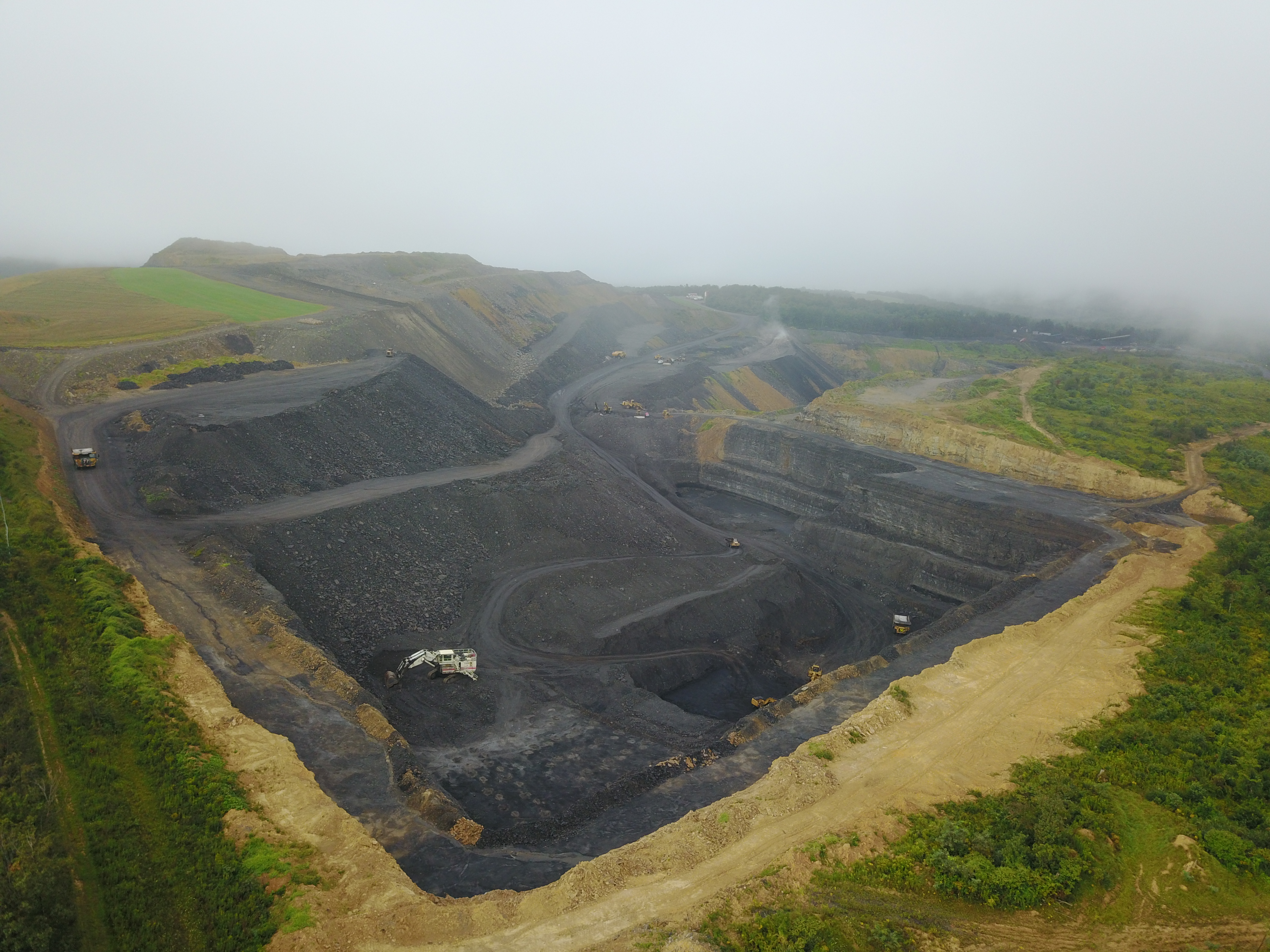
In a watershed where the polluters range from rural industrial animal operations, natural gas extraction, a paper plant, and coal mining to urban combined sewer overflows, strong Federal standards are the only good defense.
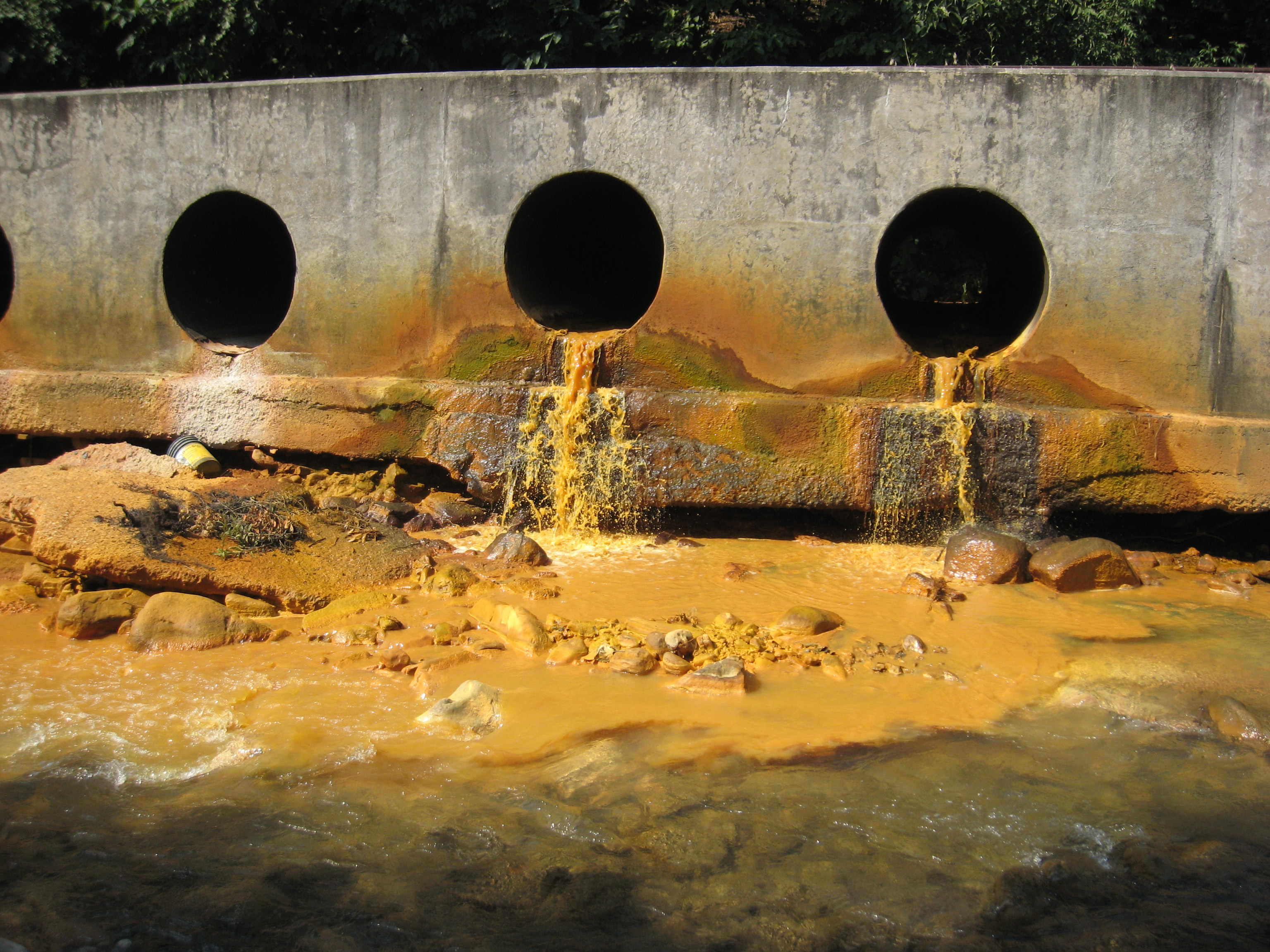
Another reason a uniform Federal standard is important: Some of the streams that could lose protection under the Trump proposal aren’t on the map.
The National Hydrography Dataset has long been the standard for watershed mapping. But a recent study by Dr. Andrew Elmore and three colleagues of almost 60,000 square kilometers, including the Potomac River watershed plus five smaller watersheds in Maryland, found that the National Hydrography Dataset underestimates stream density by up to 250 percent.
According to EPA, many smaller waters are not included in the National Hydrography Dataset because they couldn’t be detected on the original aerial photos used to create the dataset, or were excluded from the maps from which the dataset originates.
Errors were greatest in the densely urbanized cities of Washington, D.C. and Baltimore, Md. and in regions where the National Hydrography Dataset has never been updated from its original, coarse-grain mapping, Elmore and his colleagues found.
“If these streams aren’t characterized accurately on the maps, it will be up to the states to decide how to classify their streams,” Walls says. “You’ll have this dichotomy of every state doing things differently. And different standards between states can create a race to the bottom.”
You can help protect the Upper Potomac, which feeds into the drinking water source for at least 6 million people, by submitting comments about the Trump administration’s proposal to gut the Clean Water Act below. When standards are left to the states, the standards will fall. That’s why we need strong Federal protections. Raise your voice to defend our waters. #SaveTheCleanAct.